
Having access to accurate information about the location of buried utility lines is essential for companies in the construction industry or in the public works sector. It’s important you decide to choose one if you’re looking to do building work in the garden or an external area of the home.
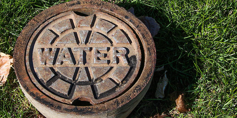
The infrastructure of any home extends far beyond the pathways that you can see with your eyes. Buried underground, there is a complex network of pipes and utility lines that are designed to carry everything from water and electricity to sewer and gas.
Thanks to the use of tools such as underground precision utility mapping, it is now possible to create precise, up-to-the-minute maps in digital form, ensuring there are no issues when renovating or building.
Accuracy is essential when dealing with buried utilities. If a company breaks or damages a utility line during a project, it can significantly increase the cost of the project while at the same time extending the completion time. Maps of underground utilities can quickly become outdated, meaning that they aren’t as accurate as they need to be. Companies can avoid potential disaster by hiring a GIS company to perform underground utility mapping using the latest tools and technology.
A number of companies working in the field of GIS use cutting-edge tools to detect utilities that are buried underground. These highly specialized services make the process of planning and developing complex projects easier for businesses and construction organizations. Having accurate maps can not only save time but can also save money.
Businesses that provide GIS services can create two-dimensional and three-dimensional maps that clearly show the location of underground utilities. Oftentimes, this mapping is done in real time, ensuring that the information is up-to-date. Whether you are developing a single property or you need a map of the entire city, these services are extremely beneficial. The mapping is done with the use of tools like GPS, CAD, and conversion software for GIS data. The completed maps can then be used for a variety of different projects involving utilities.
Some of the benefits of this type of mapping include the following:
The Ability To Access Data In Real-Time
Today’s GIS mapping tools allow you to gather and analyze data in real time. You can also track more than one project simultaneously. With the use of GIS technology, the information gathered about underground utilities can be used for everything from gathering information to providing alerts about current problems or issues. With this technology, you can get up-to-date information that is extremely accurate and precise, making it easy to plan the right course of action when dealing with problems or planning projects.
The Ability To Respond Quickly
Thanks to the real-time nature of the data gathered by GIS mapping technology, businesses and organizations can respond much more quickly. This is particularly true in the event of a disaster. Today’s technology also keeps the amount of paperwork to a minimum, making the process of responding to problems or planning projects faster, easier, and less wasteful.
As an example, if a business receives a request for service, the dispatcher can analyze where the company’s vehicles are currently located, allowing them to dispatch the closest workers. This not only translates into a faster response time for customers but it also helps employees work as productively as possible.
Money-Saving Benefits
By improving efficiency, GIS mapping can significantly reduce costs. When data is stored in a central database, it can easily be accessed by anyone with the proper credentials, even if they are currently working out in the field. When used correctly, the technology can save both time and money. These innovative tools make it faster for workers to do everything from locating underground utilities for repairs to keeping track of inventory or putting together work orders digitally.
This type of mapping technology also simplifies a lot of the tasks associated with traditional mapping methods, reducing the workload as a result. Many tasks are automated, resulting in a significant time savings. This, in turn, can help keep the cost of projects down. Companies that use these tools can save money on everything from making repairs to performing ongoing maintenance.
More Accurate And Efficient Asset Management
Using GIS mapping to locate underground utilities enables technicians to perform tasks like making repairs, performing inspections, or conducting regular maintenance much more quickly and efficiently. Thanks to location-based tracking, it is much easier for users to gain access to accurate location information, cutting down on the amount of time that they need to spend troubleshooting. With information available in real time, businesses in the public works sector can more efficiently manage their assets, cutting the cost of repairs. These tools also simplify the decision-making process and result in greater precision.
A Powerful Planning Tool
Today, companies and government organizations usually rely on GIS mapping. It provides a powerful visual representation that can be used during the planning process. GIS is able to transform data sets from the past into geo-enabled information. This information can then be accessed from anywhere by anyone who has the right credentials.
The Ability To Make Decisions More Quickly
One benefit of GIS is its ability to use mapping to give people a visual representation of underground utilities and other features. Through the use of GIS, essential information regarding everything from zoning and permitting to parks can be easily consolidated and viewed along with maps of existing roadways. This makes it easy for professionals in charge of planning and development to make faster, more informed decisions.
Share this article